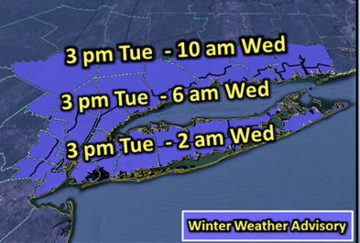

PUTNAM COUNTY, N.Y. -- The National Weather Service issued a Winter Weather Advisory for Putnam County that went into effect at 3 p.m. on Tuesday afternoon.
Snow started in the area around 4 p.m. with up to 2 inches of accumulation.
Snow will begin to transition to sleet and freezing rain during the evening and will eventually change over to rain after 2 a.m. as temperatures climb above freezing. Ice accumulations could be up to .1 inch and an additional 2 inches of snow could fall as well.
Rain showers will linger on Wednesday morning before 9 a.m. and could mix with freezing rain early before temperatures reach 40 degrees.
Rain will change back over to snow and sleet on Wednesday night with up to 3 inches possible.
Snow will continue on Thursday before noon. Temperatures are expected to dip back into the 20s by 5 p.m. on Thursday. An additional 1-3 inches of snow are possible.
Sun will return on Friday with a high only around 25 degrees.
Expect Saturday and Sunday to be a bit warmer with temperatures around 40 degrees.
Click here to follow Daily Voice Putnam and receive free news updates.